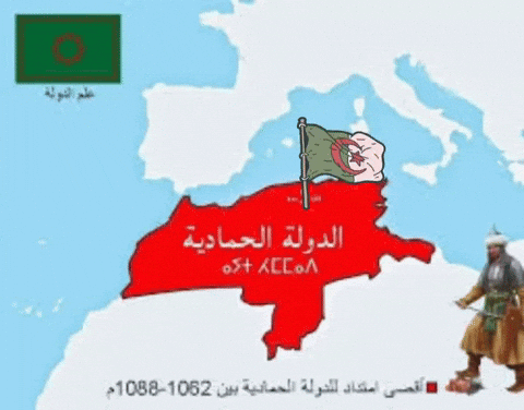
Map showing the maximum extent of the Hammadid State in North Africa between 1062-1088 AD, with flags and a historical figure.
Map showing the maximum extent of the Hammadid State in North Africa between 1062-1088 AD, with flags and a historical figure.